Hastings River Flood Study
Consultation has concluded
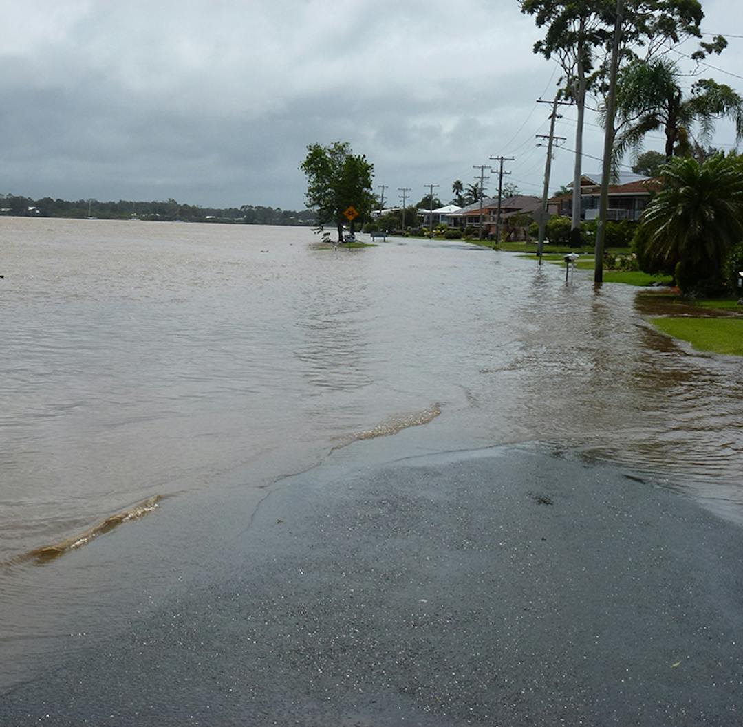
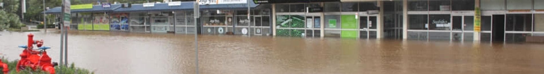
Council has recently completed an updated Flood Study of the Hastings River catchment which builds upon the previously adopted 2006 flood study.
The updated flood study defines the present day flood characteristics for the Hastings River catchment. The Hastings River Flood Study Update (2018) includes an update to the existing 100 year (1% Average Exceedance Probability (AEP)) flood event and five (5) climate change scenarios.
The updated modelling is predicting peak 100 year flood levels that are largely consistent with the Hastings River Flood Study (2006) results with differences typically within +/- 100mm.
Modelling of climate change scenarios was identified as a high priority action in the Hastings River Floodplain Risk Management Plan (2014).
The five (5) climate change scenarios modelled are as follows:
- Scenario 1 – 1% AEP catchment event with 10% increase in rainfall intensity plus 900mm Sea Level Rise (SLR).
- Scenario 2 – 1% AEP catchment event with 900mm SLR.
- Scenario 3 – 1% AEP catchment event with 10% increase in rainfall intensity plus 400mm SLR.
- Scenario 4 – 1% AEP catchment event with 400mm SLR.
- Scenario 5 – Probable Maximum Flood (PMF) with 900mm SLR.
Scenario 1 or 3 are considered to be the most appropriate.
The modelling results show that scenario 1 provides the most conservative estimate (aside from the PMF modelling in Scenario 5) for flood level increases, both across tidally influenced areas and areas further upstream. Scenario 1 is consistent with the previous NSW Sea Level Rise Policy Statement benchmarks, existing planning directions of Port-Macquarie-Hastings Council, and reflects the uncertainties of sea level rise while acknowledging the limitations of the predicted rainfall increases.
Scenario 3 also provides for a conservative estimate of the lower floodplain as it includes an allowance for increased rainfall increases and a possible sea level rise scenario. This scenario has been mapped in order to provide an alternative flood planning option.
The ultimate climate change scenario adopted will be used to define Flood Planning Areas (FPA) within the Port Macquarie-Hastings Local Environmental Plan (LEP) 2011. The revised mapping will replace the current FPA mapping that was adopted in 2007.
The FPA is used to define land subject to flood related development controls. Properties subject to flood related development controls may be affected by the results of the flood study and the climate change scenario that is adopted. Changes to the FPA may also result in changes to the number of properties that are subject to flood related development controls.
Amendments to the Port Macquarie-Hastings Council Flood Policy have also been proposed to ensure that the new flood information is effectively incorporated into flood planning provisions for the Hastings River catchment.
Further details may be obtained by contacting Jess Dick on (02) 6581 8111 or by email at council@pmhc.nsw.gov.au.
Signup Banner

Who's listening
-
Environmental Projects Officer

Phone (02) 6581 8111 Email jesse.dick@pmhc.nsw.gov.au
